Maps shape how we see the world. For decades, American classrooms, campaign groups and global thinkers have relied on one map in particular to challenge assumptions and provoke debate: the Peters Projection. Unlike most world maps, the Peters Map refuses to exaggerate power or size. Instead, it presents every country according to its true land area, offering a more balanced and honest view of the world.
At a time when global awareness, equality and representation matter more than ever, the Peters Map remains as relevant in the United States today as when it first gained prominence.

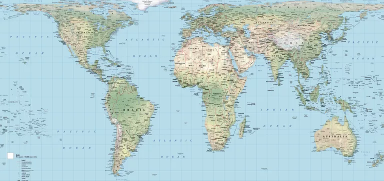
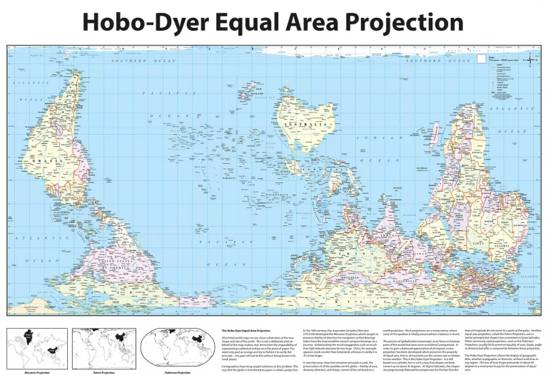
The Peters Map, also known as the Peters Projection or Gall-Peters Projection, is an equal area world map designed to show all countries in proportion to their true size. This immediately sets it apart from traditional classroom maps commonly seen across the United States, which tend to exaggerate the size of North America and Europe while shrinking Africa, South America and parts of Asia.
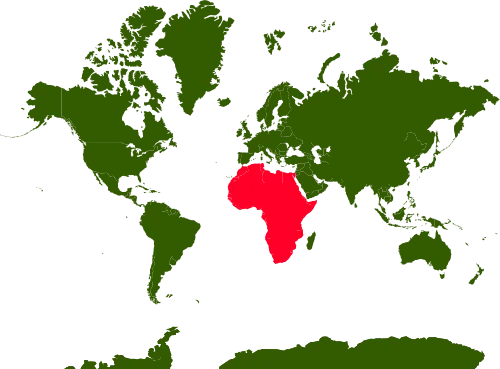
For American audiences, this difference is striking. Africa appears dramatically larger than many expect, accurately reflecting its true scale relative to the United States. South America also gains visual prominence, helping viewers better understand global geography beyond familiar Western perspectives.
The educational value of the Peters Map is one of the main reasons it continues to be used across the USA. Schools, universities and educators use it to spark discussion around geography, politics, history and global inequality. It encourages students to question what they have been taught and to recognise that maps are not neutral objects, but interpretations shaped by choices and priorities.
Beyond education, the Peters Map has become an important symbol in the United States for organisations focused on social justice, international development and environmental awareness. NGOs, churches, charities and campaign groups frequently display the Peters Projection as a visual reminder that every nation carries equal weight, regardless of wealth or political influence.
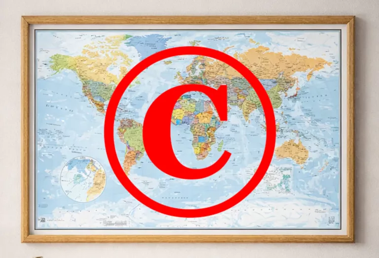
From a design perspective, modern Peters Maps have evolved significantly. Today’s versions combine accurate cartography with clean typography, contemporary colour palettes and high-resolution printing. This makes them suitable not just for classrooms, but also for offices, studios, libraries and home interiors. A Peters Map on the wall is both informative and thought-provoking, often becoming a conversation piece in its own right.
At MapShop, our Peters Maps are carefully produced to professional standards, using quality materials and up-to-date geographic data. Whether you are an educator, campaigner or simply someone who wants a more truthful world map, the Peters Projection offers a powerful alternative to conventional mapping.
The Peters Map challenges long-held assumptions about the world. For American audiences seeking a fairer, more accurate global view, it remains one of the most powerful mapping tools available. If you want a world map that informs, educates and sparks debate, the Peters Projection is still the right choice.
Explore our full range of Peters Maps here: https://map-shop.co.uk/product-category/peters-map/