UK Geology Map – BGS Bedrock 625k Geological Wall Map Poster
Price range: £35.00 through £49.00
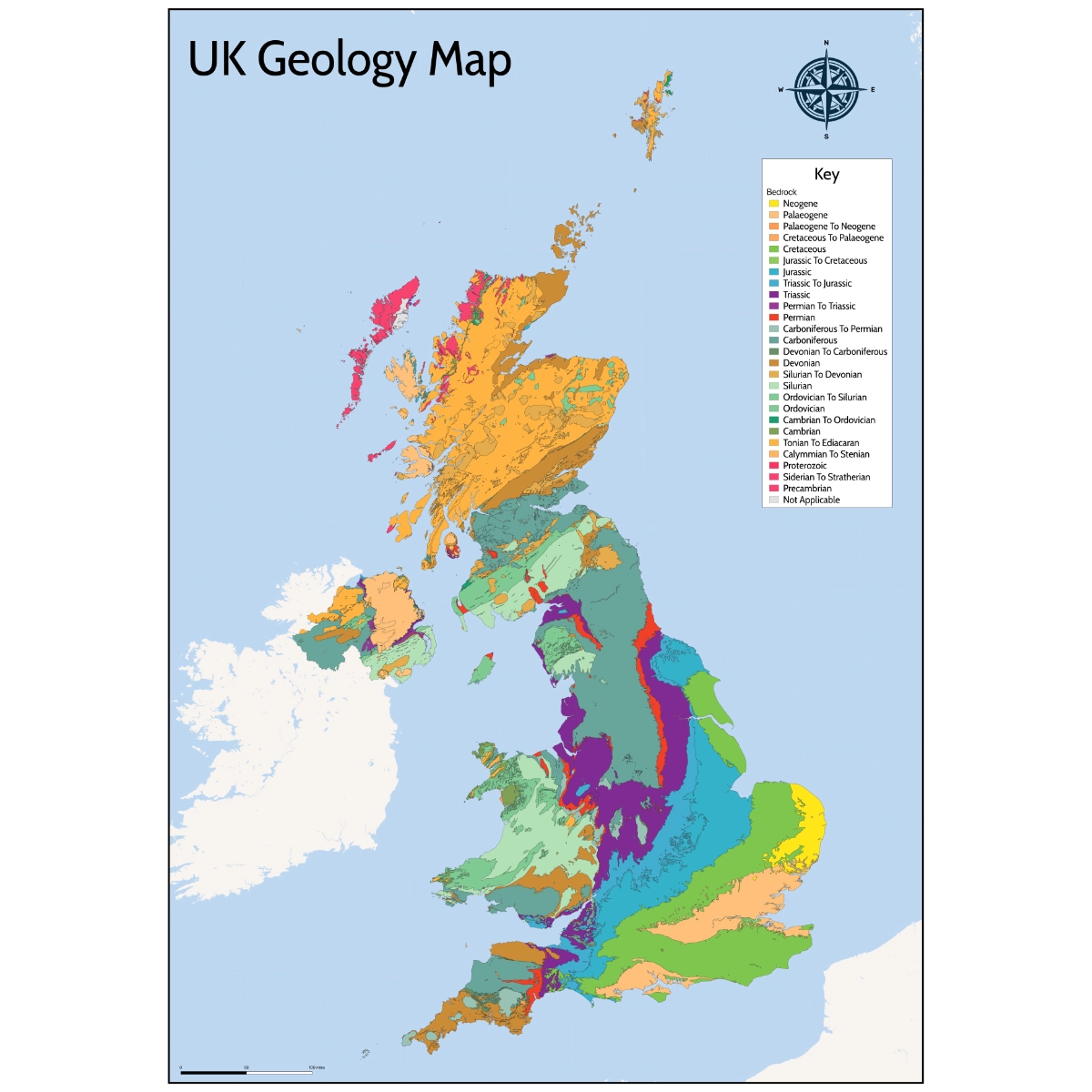
A detailed UK geology map of bedrock at 1:625,000 scale, showing geological periods and formations across England, Scotland and Wales. Ideal for education, offices and displays.
Free UK shipping
- Satisfaction Guaranteed
- Printed on Demand
- Secure Payments
This UK Geology Map of bedrock provides a detailed and authoritative representation of the solid geology of Great Britain and Northern Ireland at a scale of 1:625 000. The map is based on data produced by the British Geological Survey and has been designed for accurate interpretation, education and professional reference.
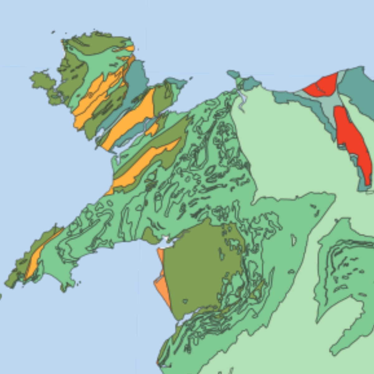
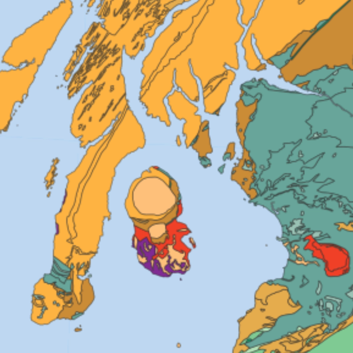
The map illustrates bedrock geology using clearly defined geological areas shown as polygons. Each geological unit is labelled and attributed using established geological nomenclature, including lithostratigraphical, chronostratigraphical and lithodemic classifications. In addition, each area is described by its composition, identifying the dominant rock type or lithology. This structured approach allows users to understand not only the age of geological formations, but also their material characteristics and spatial relationships.
A comprehensive colour legend supports interpretation by distinguishing geological periods that range from Precambrian formations through to Neogene deposits. These colour groupings make it easier to identify regional patterns, geological boundaries and transitions across England, Scotland, Wales and Northern Ireland. The map also highlights the complexity of Britain’s geological history, shaped by tectonic movement, sedimentation, erosion and volcanic activity over hundreds of millions of years.
Printed at A0 size, this large format geology wall map is well suited to educational environments such as schools, colleges and universities, where it supports the teaching of geology, geography and earth sciences. It is equally valuable for professional settings including planning offices, environmental consultancies, engineering practices and infrastructure projects where an understanding of underlying geology is essential.
Beyond its technical value, the map is also a visually engaging piece of cartography. Its clear layout, balanced colour palette and readable legend make it accessible to non specialists while retaining the accuracy required by professionals. Whether used as a teaching aid, a reference tool or a display map, this UK Geology Bedrock Map offers a clear and reliable insight into the geological foundations of Great Britain and Northern Ireland.
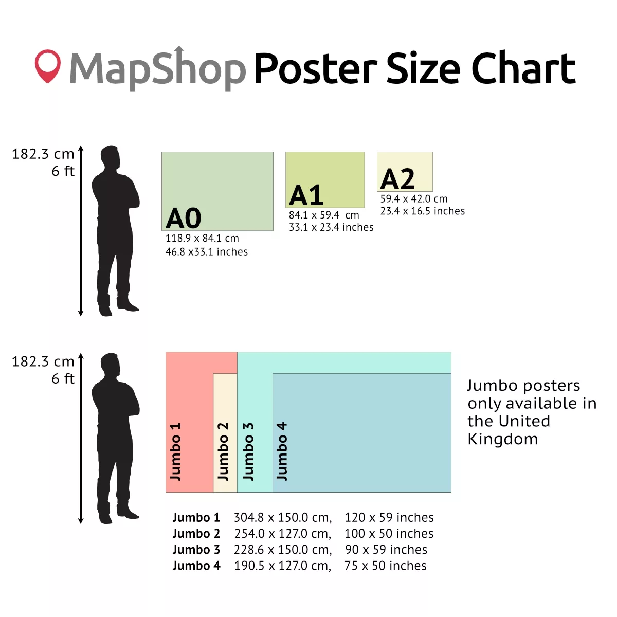
| Size | A2 – (594 x 420 mm) (23.4 x 16.5"), A1 – (841 x 594 mm) (33.1 x 23.4"), A0 – (1189 x 841 mm) (46.8 x 33.1") |
|---|
Only logged in customers who have purchased this product may leave a review.
Related products
- Sale!

England Commissioning Map (UK ICB Map)
Price range: £32.00 through £225.00Select options This product has multiple variants. The options may be chosen on the product page - Sale!
England Commissioning Map (CCG Map)
Price range: £32.00 through £225.00Select options This product has multiple variants. The options may be chosen on the product page Official TfL Night Tube Map & London Overground Map
Price range: £69.00 through £115.00Select options This product has multiple variants. The options may be chosen on the product page

 Map")

 Map")


&url=https://map-shop.co.uk/product/england-commissioning-map-icb-map/&media=https://map-shop.co.uk/wp-content/uploads/2023/12/0002-pindar-icb-map-723x1024.webp)
&url=https://map-shop.co.uk/product/england-commissioning-map-ccg/&media=https://map-shop.co.uk/wp-content/uploads/2023/12/0001-pindar-ccg-map-722x1024.webp)
Reviews
There are no reviews yet.