


Peters Equal Area World Map (Environmental)
Price range: £45.00 through £59.00
Peters Equal Area World Map – Updated October 2024
Maps not only represent the world, they shape the way we see it. The revolutionary Peters Projection map presents countries in their true proportion to one another: it has been adopted by the UN, aid agencies, schools and businesses around the world.
Free UK shipping
- Satisfaction Guaranteed
- Printed on Demand
- Secure Payments
Peters Equal Area World Map – Educational Cylindrical Projection
The Peters Equal Area World Map is a distinctive cylindrical projection with standard parallels at 45 degrees, designed to present every country in its true proportion to all others. While shapes appear stretched near the equator and compressed towards the poles, this projection ensures that all countries are shown at their correct relative size, making it a powerful visual tool for teaching global equality and geographical accuracy.
Widely recognised in educational, academic, and business environments, the Peters projection has become an icon for fair and accurate world representation. This edition is based on the original drawing by Oxford Cartographers, who maintain the map and are the authorised UK sellers.
Key Features:
- Projection Type: Peters Equal Area cylindrical projection – accurate country sizes for fair global comparison.
- Educational Value: Ideal for classrooms, universities, offices, and presentations on global awareness.
- Premium Printing: Printed to order on 200gsm FSC-certified matte paper with a smooth, non-reflective finish for excellent readability.
- Sustainably Sourced: Environmentally responsible production using certified sustainable paper.
Find out more about the Peters Map and other projections at the Peters Projection website.
Map details and origins:
Produced and maintained by Oxford Cartographers, a trusted name in cartography.
We are an authorised UK seller, ensuring authenticity and premium quality.
Updated to reflect current political boundaries.
Paper and print quality:
Premium matte finish – smooth, non-reflective surface for easy viewing in all light conditions.
Heavyweight paper – 200 gsm (80 lb), thickness 0.26 mm (10.3 mils), giving a high-quality, durable feel.
Sustainably sourced – FSC-certified or equivalent, environmentally responsible paper.
Product notes:
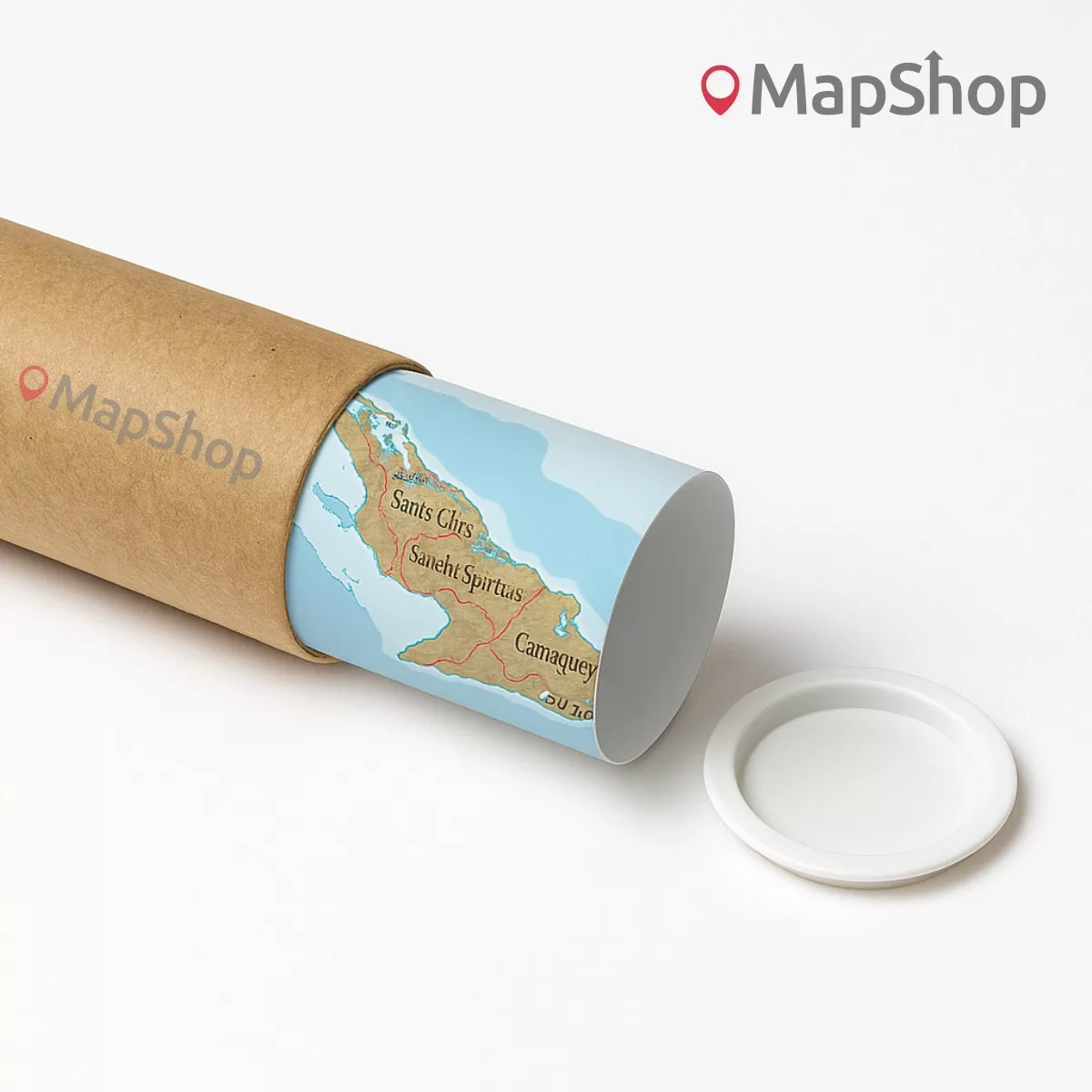
Built to order for the highest quality finish.
The word “@COPYRIGHT” will not appear on your purchased map.
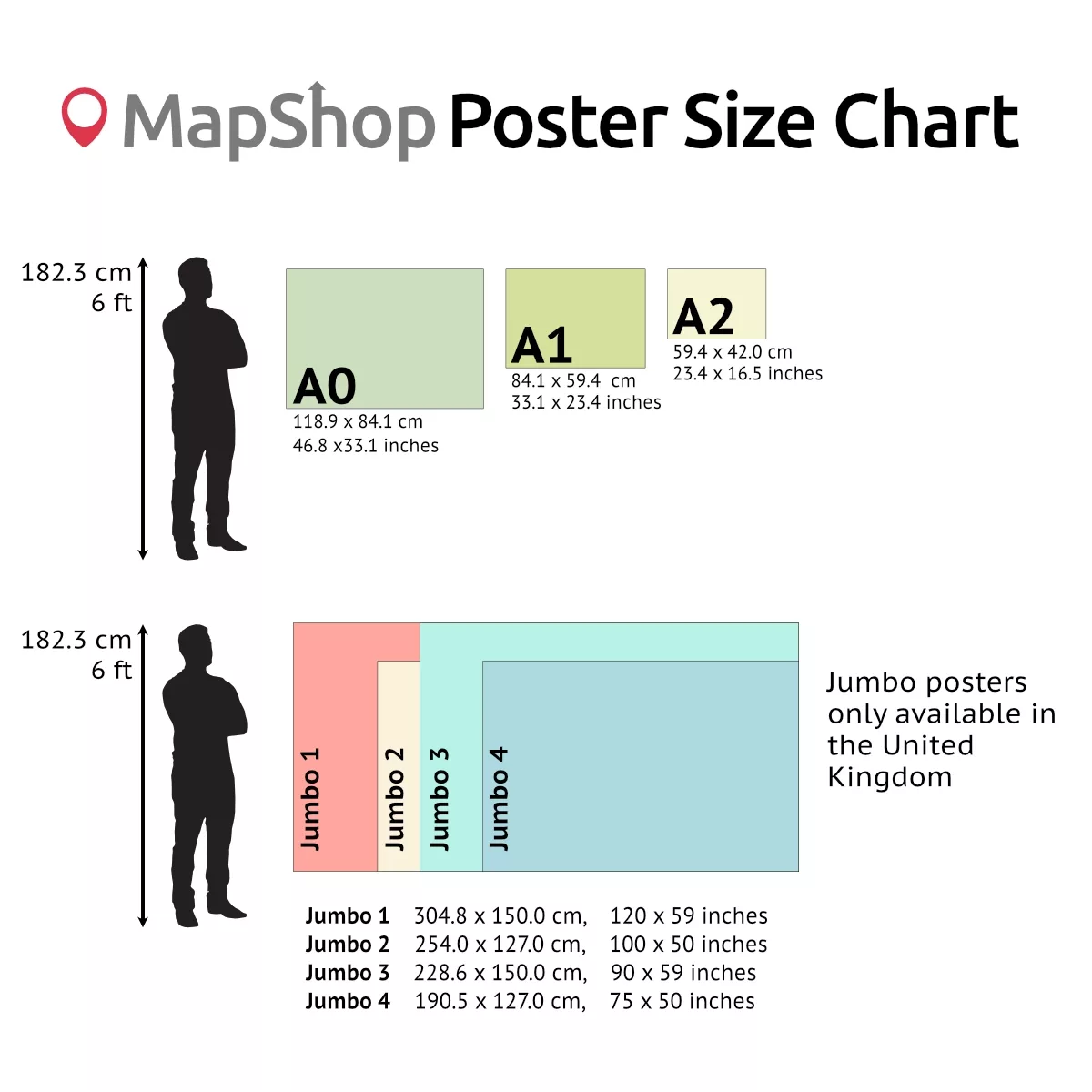
| Size | A2 – (594 x 420 mm) (23.4 x 16.5"), A1 – (841 x 594 mm) (33.1 x 23.4"), A0 – (1189 x 841 mm) (46.8 x 33.1") |
|---|
Only logged in customers who have purchased this product may leave a review.
You may also like…

Peters Projection Map (Educational)
Price range: £45.00 through £59.00Select options This product has multiple variants. The options may be chosen on the product pagePeters Equal Area World Map (Political-Detailed)
Price range: £45.00 through £59.00Select options This product has multiple variants. The options may be chosen on the product pagePeters Projection Map (Political-Simple)
Price range: £45.00 through £59.00Select options This product has multiple variants. The options may be chosen on the product page


")

 (simple)")
Related products
Modified Gall World Projection Map (Environmental-Simple)
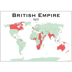
Price range: £39.00 through £59.00Select options This product has multiple variants. The options may be chosen on the product pageBritish Empire Map 1921
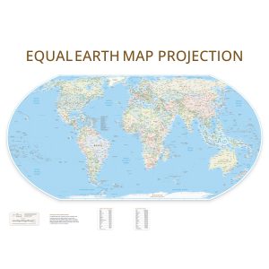
Price range: £29.00 through £49.00Select options This product has multiple variants. The options may be chosen on the product pageEqual Earth Wall Map (Political)
Price range: £55.00 through £75.00Select options This product has multiple variants. The options may be chosen on the product page

")


&url=https://map-shop.co.uk/product/peters-equal-area-world-map-env/&media=https://map-shop.co.uk/wp-content/uploads/2024/10/ms00004-peters-map-environmental-copyright.jpg)
&url=https://map-shop.co.uk/product/peters-projection-map-educational/&media=https://map-shop.co.uk/wp-content/uploads/2024/11/ms00003-peters-map-edu-pol-copyright.jpg)
&url=https://map-shop.co.uk/product/peters-equal-area-world-map-political/&media=https://map-shop.co.uk/wp-content/uploads/2024/10/ms00003-peters-map-political-copyright.jpg)
&url=https://map-shop.co.uk/product/peters-projection-map-political-simple/&media=https://map-shop.co.uk/wp-content/uploads/2024/10/ms00003-peters-map-simple-copyright.jpg)
&url=https://map-shop.co.uk/product/modified-gall-world-projection-map-environmental-simple/&media=https://map-shop.co.uk/wp-content/uploads/2025/01/ms00007-gall-map-env-simple-copyright-1024x724.jpg)
&url=https://map-shop.co.uk/product/equal-earth-wall-map/&media=https://map-shop.co.uk/wp-content/uploads/2025/08/ms01004-equal-earth-1024x1024.jpg)
Reviews
There are no reviews yet.