British Empire Map 1921
Price range: £29.00 through £49.00
The British Empire Map is a detailed historical world map showing the extent of the British Empire in 1921. Ideal for education, study spaces and period interiors.
Free UK shipping
- Satisfaction Guaranteed
- Printed on Demand
- Secure Payments
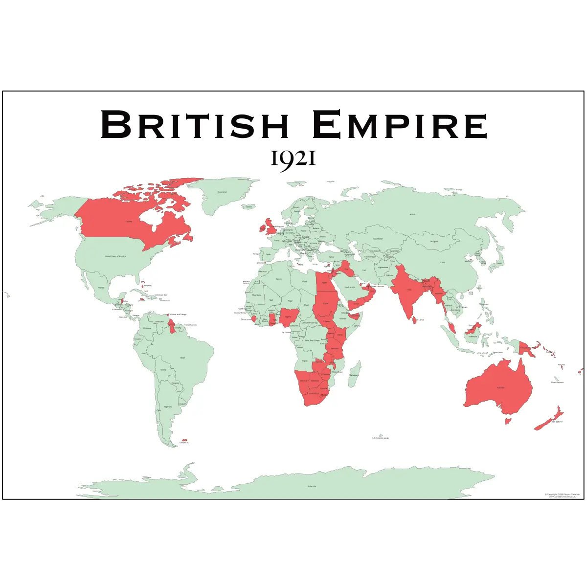
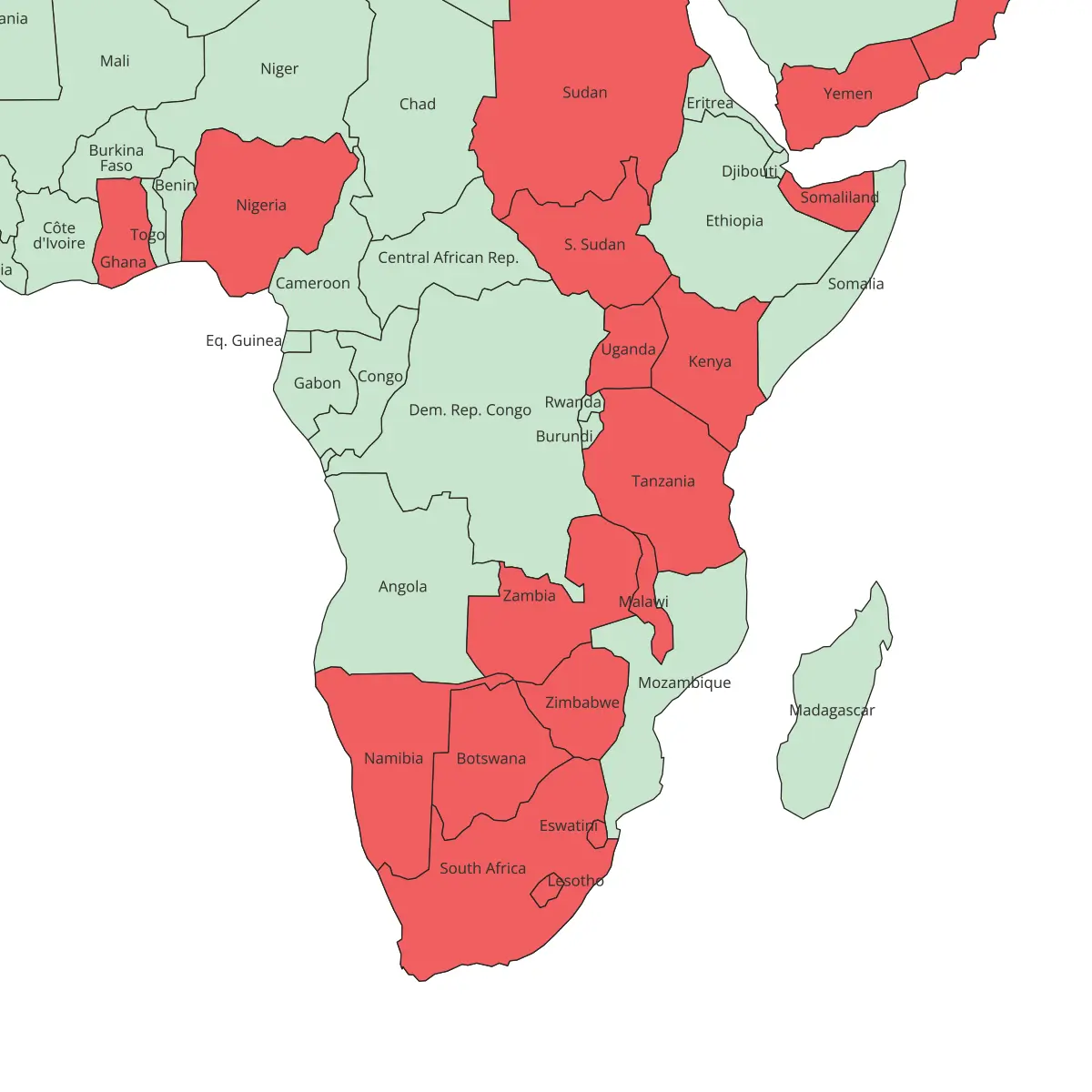
This British Empire Map from 1921 presents a clear and striking snapshot of the world at the height of British imperial influence. Territories under British control are clearly highlighted, offering an immediate visual understanding of the global reach of the Empire following the First World War.
The map covers every continent and illustrates dominions, colonies and protectorates as they stood in 1921. From Canada and Australia to India, Africa and the Caribbean, it provides valuable historical context for students, educators and anyone interested in world history, geopolitics or colonial studies.
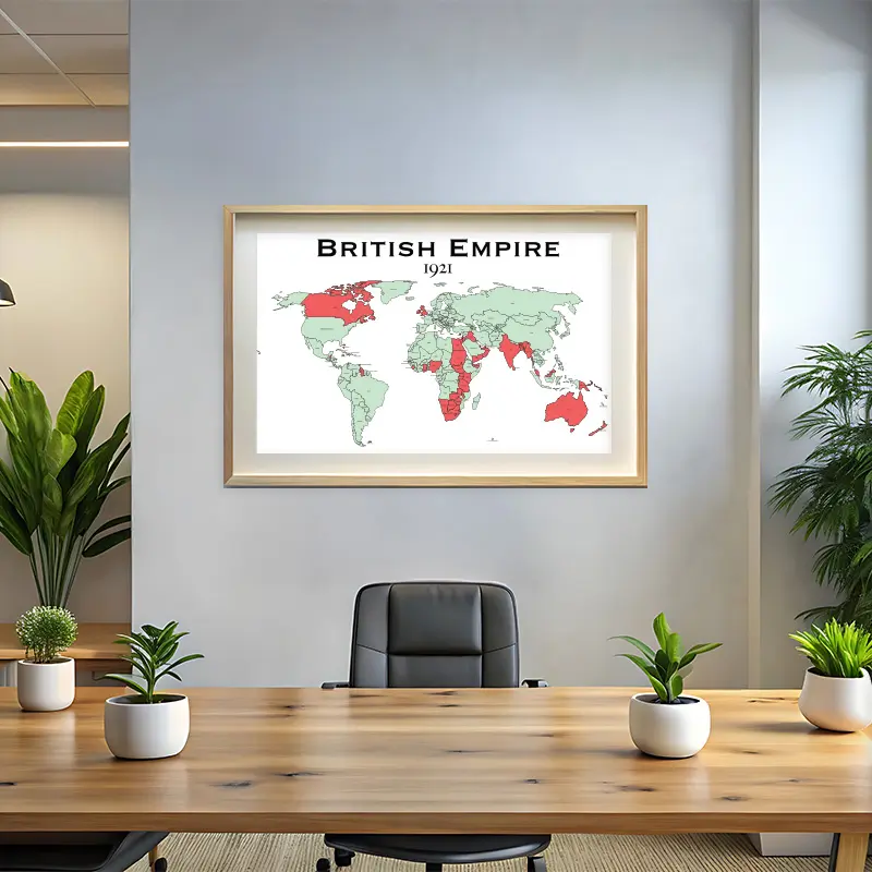
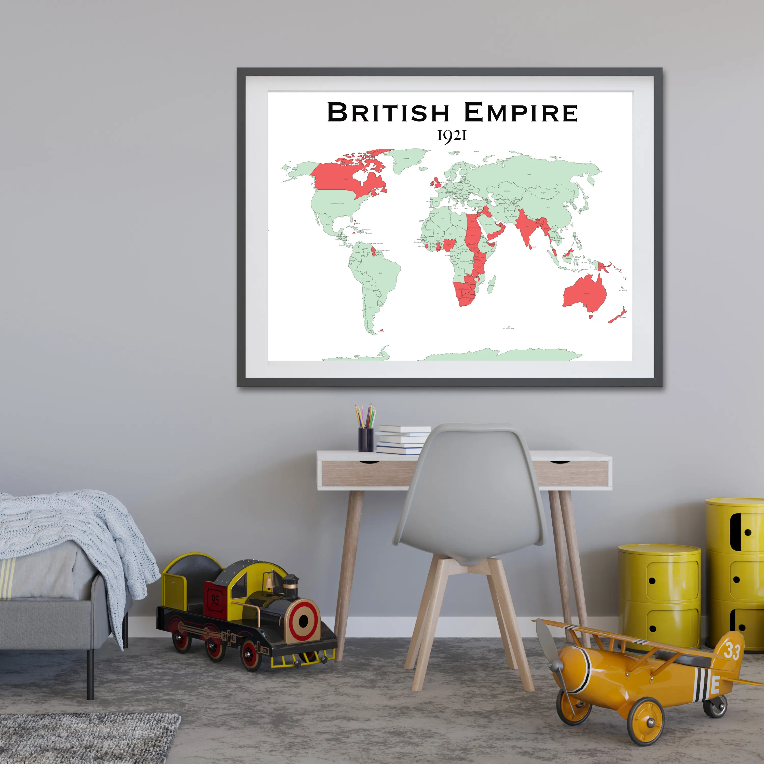
Designed in a clean, traditional cartographic style, this map works equally well as an educational reference and as a decorative wall piece. It is particularly well suited to classrooms, libraries, offices, studies and heritage interiors, where it can prompt discussion and reflection on Britain’s historical role on the world stage.
Printed at large format for clarity and impact, this map allows place names and boundaries to be easily read from a distance. Each order is produced to order using the latest print file to ensure accuracy and high visual quality.
Printed on 260GSM (UK), 200GSM (Rest of the World) satin poster paper.
Contact us for colour variations.
Available sizes:
A0 = Landscape, 1189 mm (w) x 841 mm (h), (48.8 in x 33.1 in)
A1 = Landscape, 841 mm (w) x 594 mm (h), (33.1 in x 23.4 in)
A2 = Landscape, 594 mm (w) x 420 mm (h), (23.4 in x 16.5 in)
| Size | A2 – (594 x 420 mm) (23.4 x 16.5"), A1 – (841 x 594 mm) (33.1 x 23.4"), A0 – (1189 x 841 mm) (46.8 x 33.1") |
|---|
Only logged in customers who have purchased this product may leave a review.
Related products

Peters Projection Map (Political-Simple)
Price range: £45.00 through £59.00Select options This product has multiple variants. The options may be chosen on the product pageWorld Time Zones Map
Price range: £39.00 through £55.00Select options This product has multiple variants. The options may be chosen on the product pageHobo-Dyer Equal Area Maps (Traditional)
Price range: £39.00 through £59.00Select options This product has multiple variants. The options may be chosen on the product page

 (simple)")


&url=https://map-shop.co.uk/product/peters-projection-map-political-simple/&media=https://map-shop.co.uk/wp-content/uploads/2024/10/ms00003-peters-map-simple-copyright.jpg)
&url=https://map-shop.co.uk/product/hobo-dyer-equal-area-maps/&media=https://map-shop.co.uk/wp-content/uploads/2024/11/ms00005-hodo-dyer-en-spup-pacific-detailed-copyright-1024x701.jpg)
Reviews
There are no reviews yet.