
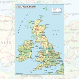
UK & Ireland Road Map Poster
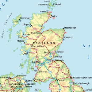
Price range: £29.00 through £59.00A clear, easy to read UK and Ireland road map showing the main motorways and A roads across England, Scotland, Wales, Northern Ireland and the Republic of Ireland. Major airports and ferry terminals are marked too, so it works just as well for planning a trip as it does on the wall.
– Main routes, airports and ferry terminals across the UK and Ireland
– From Shetland down to the Isles of Scilly, plus the northern French coast
– Printed on satin finish paper
– Available in A2, A1 and A0
– Supplied unframed (contact us for framed options)
Select options This product has multiple variants. The options may be chosen on the product page

