Classic cartography meets modern design
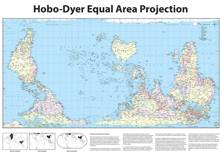
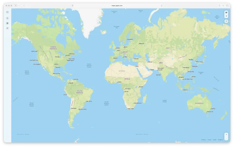
We are pleased to introduce a new edition of our Hobo-Dyer Equal Area World Map, now enhanced with detailed relief shading and available in two distinct typographic styles: a traditional atlas-inspired design and a clean modern font version. This latest release combines cartographic integrity with visual depth, offering a world map that is both accurate and striking.
Why the Hobo-Dyer projection matters
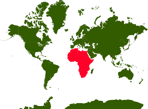
The Hobo-Dyer Equal Area projection is valued for its commitment to fairness. Unlike many common world map projections that exaggerate the size of landmasses near the poles, Hobo-Dyer preserves true area relationships. Africa, South America and Asia appear at their correct relative sizes, providing a more honest view of the world that is widely used in education, sustainability, and global studies.
Introducing relief shading
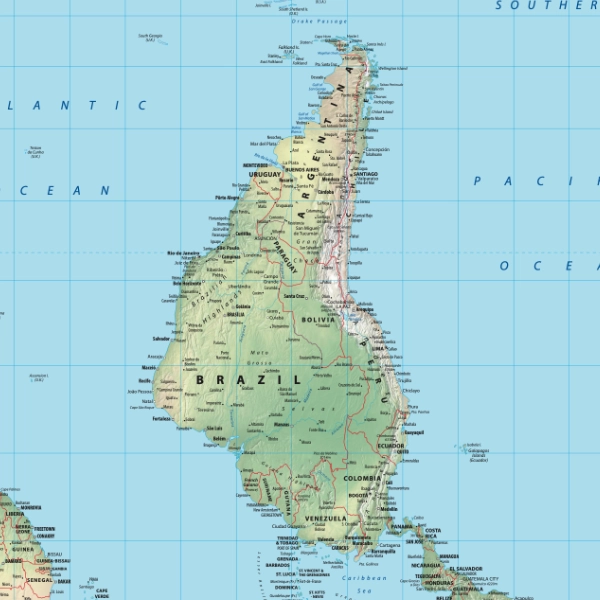
What makes this edition new is the addition of subtle physical relief. Mountain ranges, plateaus, basins and major landforms are carefully shaded to reveal the shape of the planet without overpowering political or place-name detail. The result is a map that communicates both human geography and physical geography at a glance.
Relief highlights include:
- Major mountain systems such as the Andes, Himalayas and Rockies
- High plateaus including Tibet and the Ethiopian Highlands
- Deserts, basins and lowland regions shown with gentle tonal variation
This added depth makes the map particularly suitable for classrooms, studios and display spaces where clarity and visual interest matter equally.
Two typographic styles to suit different spaces
To reflect different tastes and interiors, the map is available in two font treatments:
Traditional style
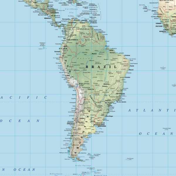
Inspired by classic wall maps and printed atlases, this version uses familiar serif typography and balanced label hierarchy. It suits libraries, studies, schools and anyone who prefers a timeless cartographic look.
Modern style
This version uses a contemporary, clean font with simplified label styling. It is ideal for modern homes, offices and design-led environments where a fresh aesthetic is preferred.
Both versions contain the same cartographic content, scale and projection, differing only in typographic presentation.
Cartographic detail and accuracy
- Equal area projection ensures proportional land representation
- Up-to-date country boundaries and place names
- Extensive global city, river and physical feature labelling
- Clear graticule, legend and reference information
The map is digitally produced by Oxford Cartographers and released as the January 2026 edition, ensuring current and reliable geographic data.
Who this map is for
- Educators teaching geography, global development or environmental studies
- Designers and architects seeking a statement wall map
- Businesses and NGOs working with global data
- Anyone looking for a more accurate and thoughtful world map