Download high-resolution Hobo-Dyer world map PDFs designed for classroom use, projection comparison and educational reference.
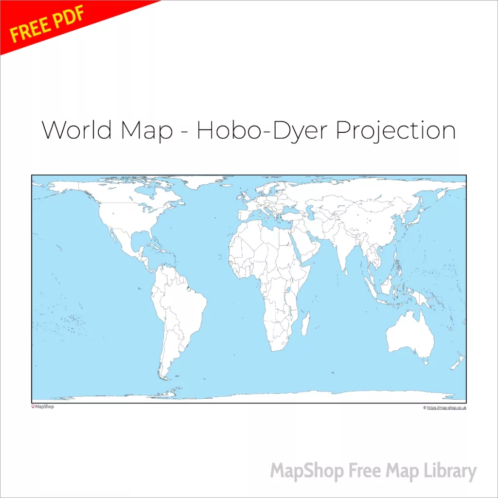
The Hobo-Dyer projection is an equal-area cylindrical projection that preserves the relative size of continents and countries. Unlike the Mercator projection, it does not exaggerate high-latitude regions, making it particularly useful for discussions about map distortion and global representation.
This page includes multiple downloadable versions of the Hobo-Dyer world map in printable PDF format.
What Is the Hobo-Dyer Projection?
The Hobo-Dyer projection is an equal-area world map projection that preserves the true relative area of landmasses while maintaining a familiar cylindrical appearance.
Key characteristics:
• Preserves land area proportions
• Reduces polar exaggeration
• Useful for geography education
• Strong projection comparison tool
In this projection, Africa appears proportionally accurate relative to Europe and North America, unlike in conformal projections such as Mercator.
Why Use the Hobo-Dyer Projection in the Classroom?
The Hobo-Dyer projection is particularly effective for teaching about:
• Equal-area mapping
• Global size distortion
• Representation bias in cartography
• Projection comparison exercises
It allows students to visually compare landmass size without the dramatic polar enlargement seen in Mercator maps.
Compare With Other World Map Projections
Compare this projection with:
- Equal Earth world map
- Natural Earth world map
- Gall projection world map
- Mercator projection world map
Looking for a large wall map? View our professionally printed Hobo-Dyer world maps.