Download a free printable Equal Earth world map in high-resolution PDF format. This equal-area projection preserves relative landmass size while presenting a visually balanced global layout, making it ideal for classroom use and projection comparison.
H2: What Is the Equal Earth Projection?
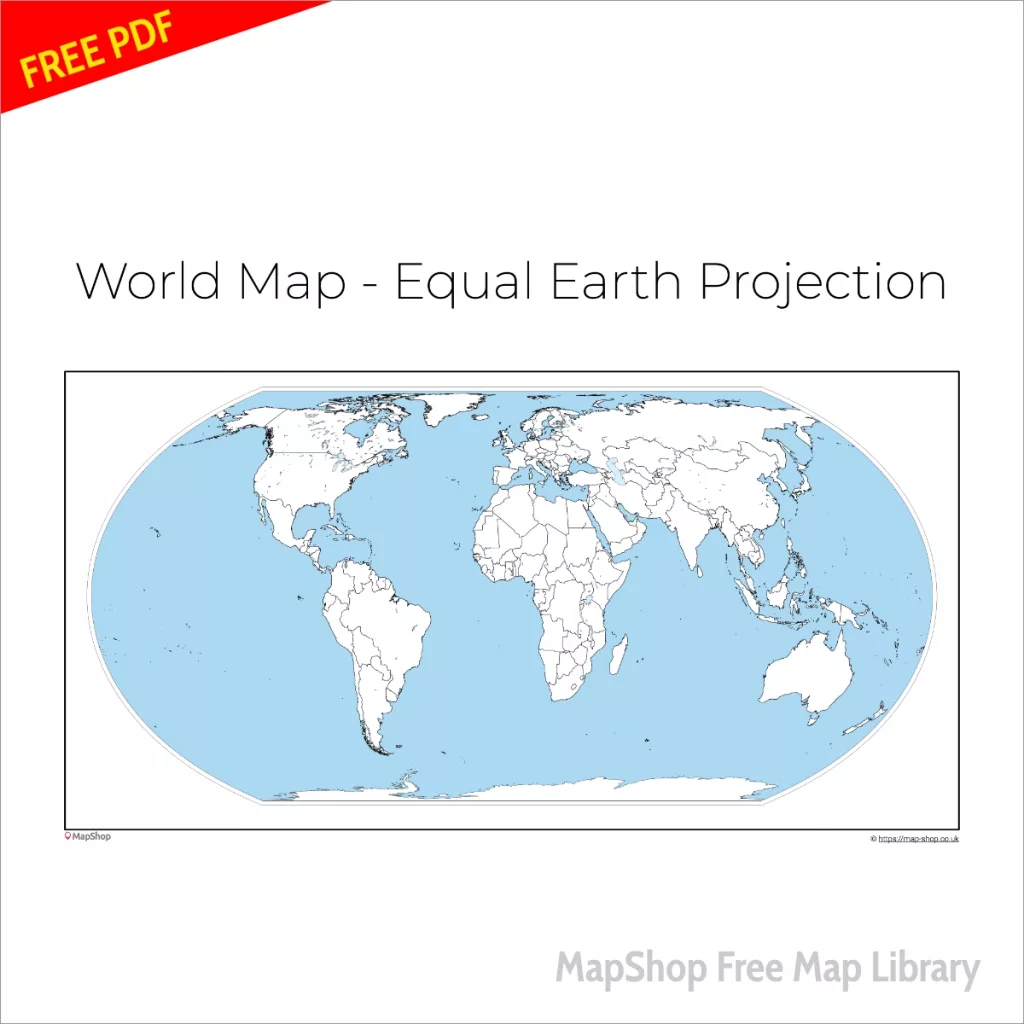
The Equal Earth projection is a modern equal-area world map projection developed to provide a visually pleasing and area-accurate representation of the Earth.
Unlike the Mercator projection, which exaggerates high-latitude regions, Equal Earth maintains proportional landmass size while smoothing continental outlines.
This makes it particularly useful for:
• Geography lessons
• Map projection comparison
• Classroom wall display
• Educational worksheets
• Academic reference
Why Use an Equal-Area World Map?
All flat maps distort the Earth in some way. Equal-area projections prioritise preserving the true relative size of continents and countries.
In the Equal Earth projection:
- Africa appears proportionally accurate
- Greenland is no longer oversized
- Equatorial regions maintain correct area representation
This makes it a strong teaching tool when discussing global representation and cartographic distortion.
Download Details
Format: PDF
Resolution: High-resolution print-ready
Suitable for: A4, A3 and scaled printing
Free for educational and personal use.
Explore Equal Earth printed world maps for large format display options.