
UK & Ireland Road Map Poster
Price range: £29.00 through £59.00
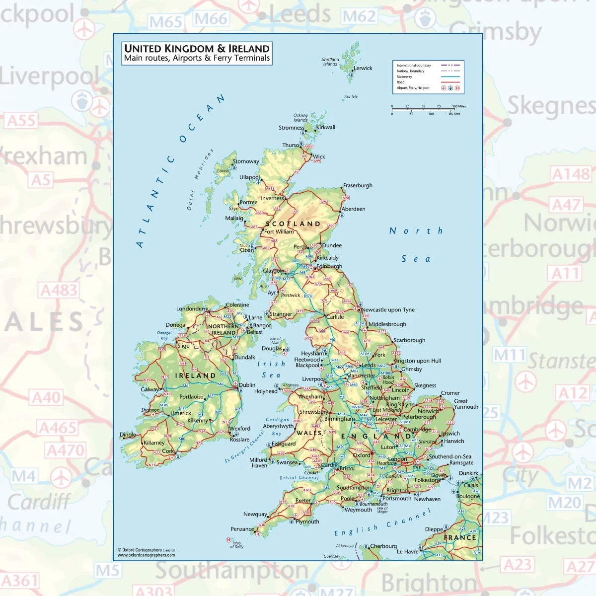
A clear, easy to read UK and Ireland road map showing the main motorways and A roads across England, Scotland, Wales, Northern Ireland and the Republic of Ireland. Major airports and ferry terminals are marked too, so it works just as well for planning a trip as it does on the wall.
– Main routes, airports and ferry terminals across the UK and Ireland
– From Shetland down to the Isles of Scilly, plus the northern French coast
– Printed on satin finish paper
– Available in A2, A1 and A0
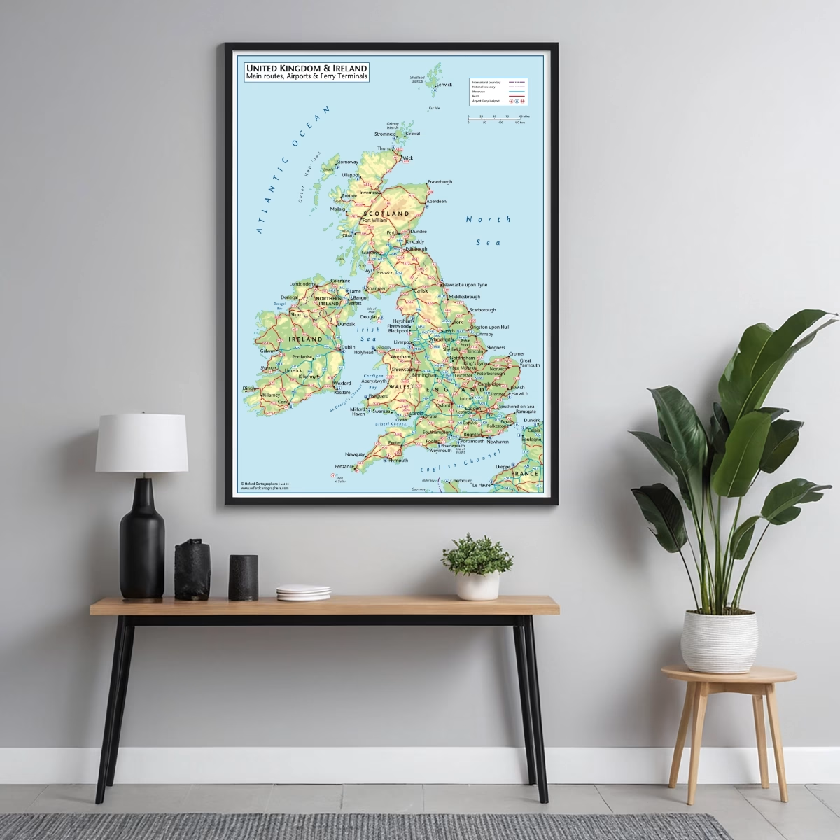
– Supplied unframed (contact us for framed options)
Free UK shipping
- Satisfaction Guaranteed
- Printed on Demand
- Secure Payments
UK and Ireland road map with main routes, airports and ferry terminals
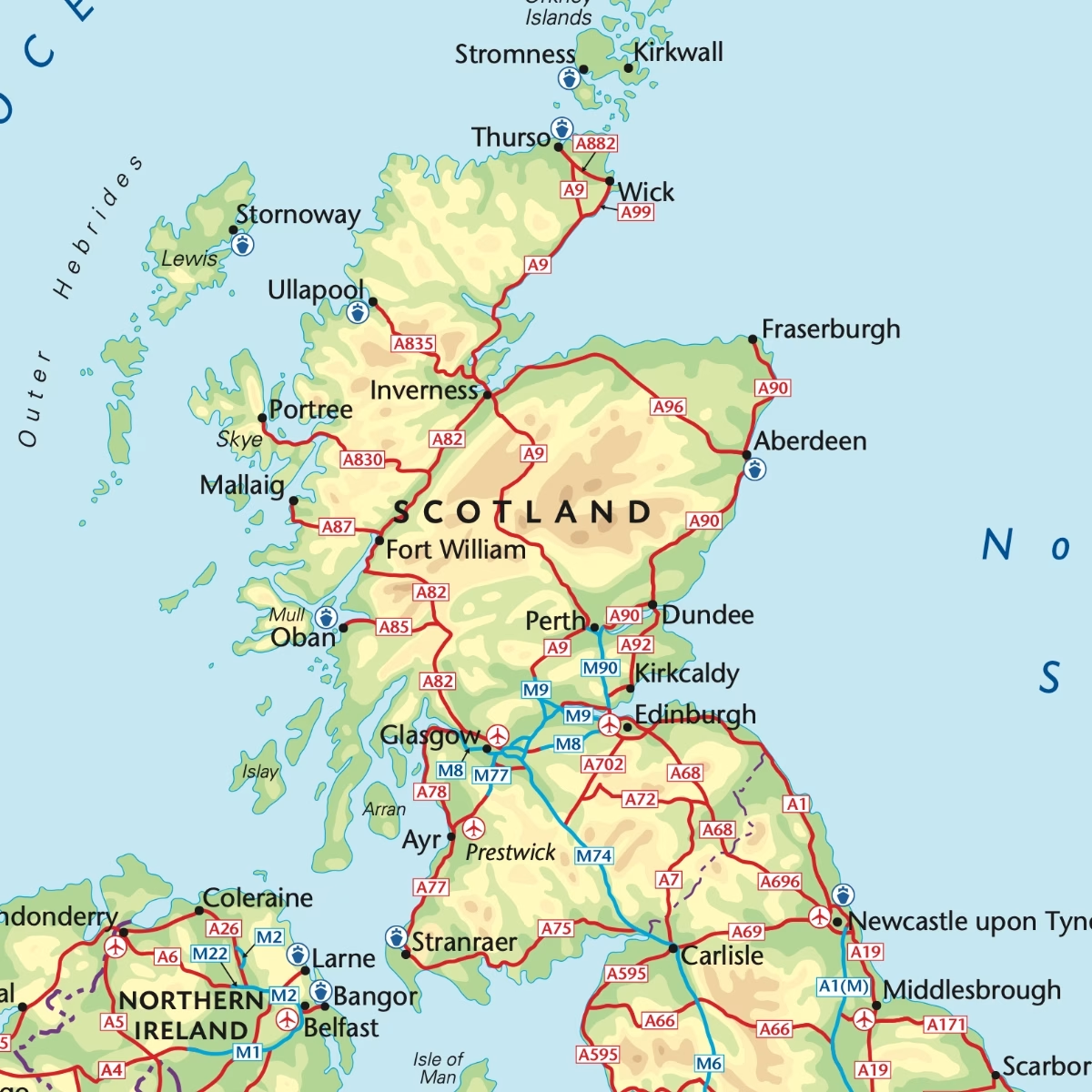
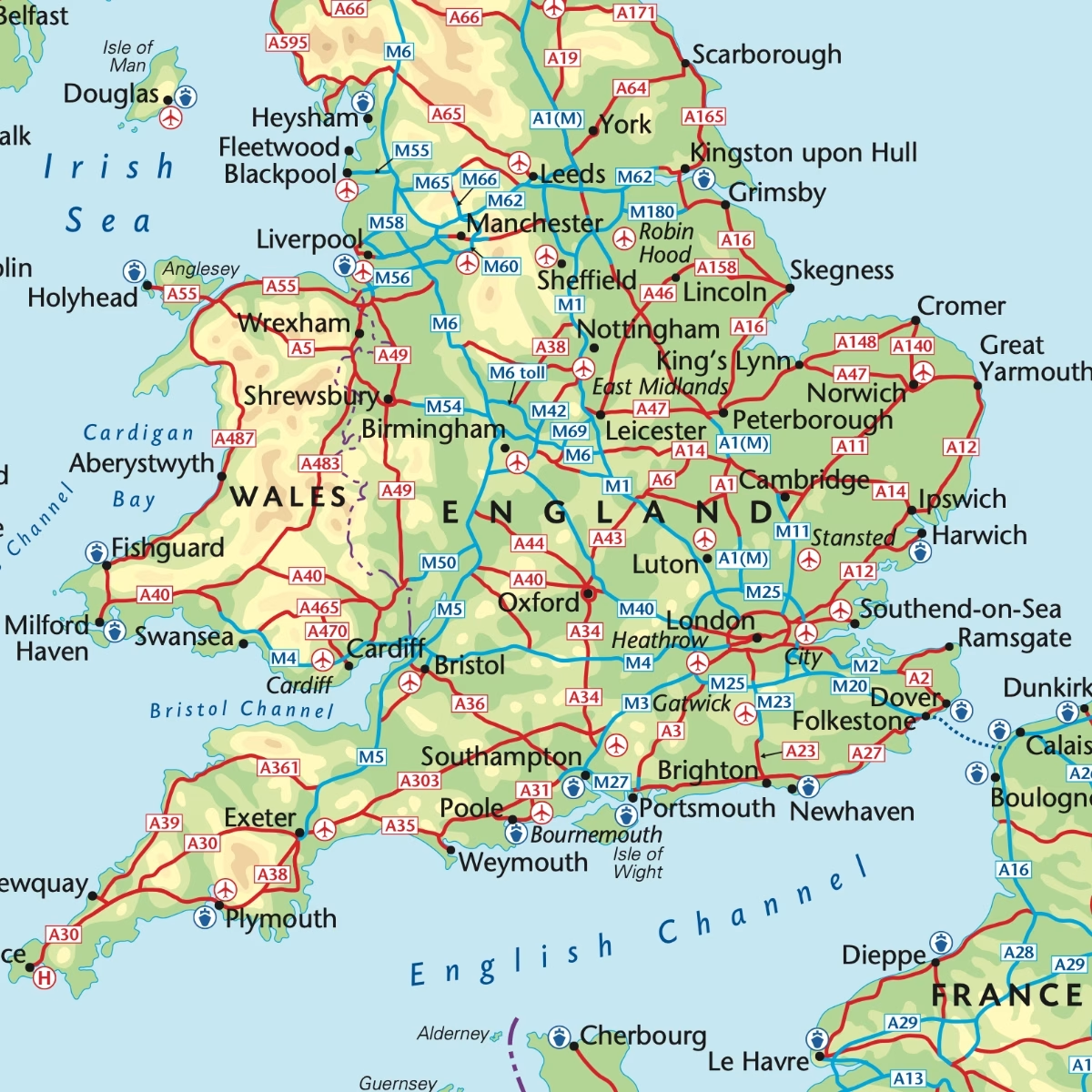
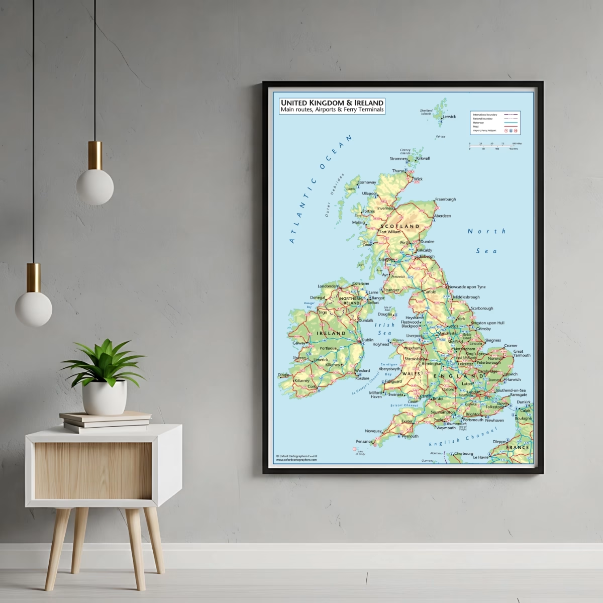
This UK and Ireland road map gives you the whole of the British Isles on one sheet, with the main road network picked out clearly against shaded relief. Motorways are shown in blue and main roads in red, with route numbers marked along the way, so you can follow the M1, the A9 or the N7 at a glance. Ireland’s national routes are included alongside the UK network, which makes it handy for anyone travelling between the two.
Airports and ferry ports on the UK and Ireland road map
Alongside the roads, the map marks the major airports, ferry terminals and heliports. You’ll find the London airports including Heathrow, Gatwick, Stansted, Luton and City, as well as regional airports from Inverness to Newquay. Ferry ports are shown around the coast, including Dover, Holyhead, Fishguard, Stranraer, Larne, Harwich, Rosslare and Dublin, and the routes across to the islands. The French coast from Dunkirk round to Cherbourg is included, so cross-Channel crossings are easy to picture.
What the map covers
The map runs from Shetland and Orkney in the north down to the Isles of Scilly and the Channel Islands in the south. It takes in the Outer Hebrides, Skye, Mull, Islay, Arran, the Isle of Man, Anglesey and the Isle of Wight, along with England, Scotland, Wales, Northern Ireland and the Republic of Ireland. A scale bar in both miles and kilometres and a simple key make it easy to read, whether you’re looking at it from across the room or up close.
Who it’s for
A UK and Ireland road map like this suits all sorts of spaces. It’s a useful reference in offices, depots and dispatch rooms where routes and journey times come up every day, and it looks good in a study, hallway or classroom. It also makes a thoughtful gift for keen drivers, caravanners, motorcyclists and anyone who loves a road trip.
Printing and sizes
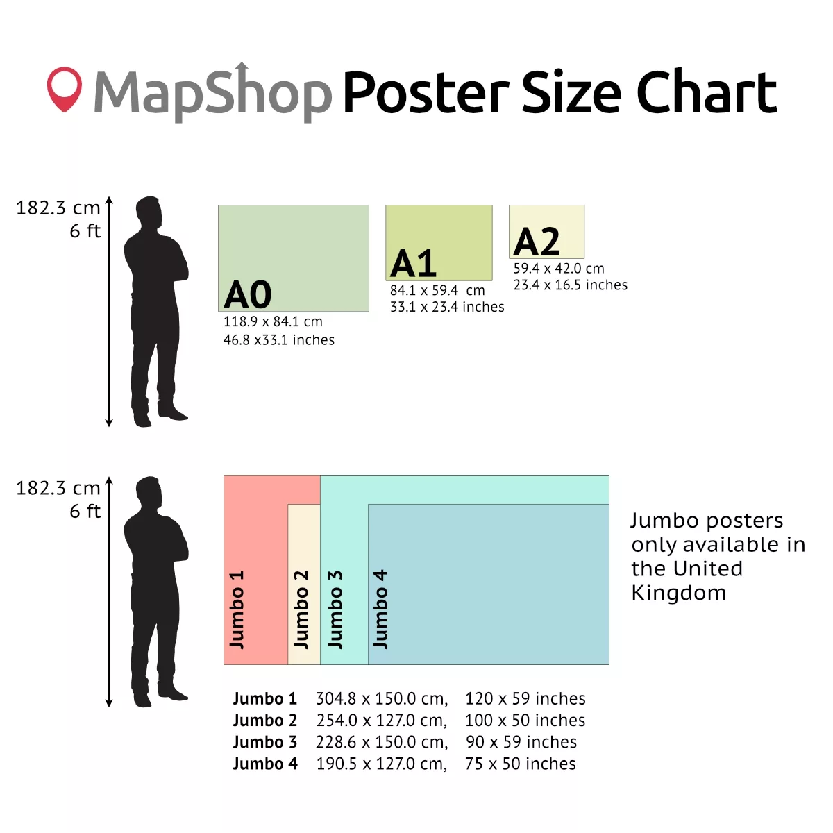
Each poster is printed on satin finish paper, which gives a soft sheen without heavy glare. UK orders are printed on 260gsm paper and orders for the rest of the world on 200gsm. Choose from three sizes:
– A2 (420 x 594mm)
– A1 (594 x 841mm)
– A0 (841 x 1189mm)
The map is supplied unframed, so you can choose a frame or hanging method that suits your space.
Map details
– Coverage: United Kingdom, Republic of Ireland, Isle of Man, Channel Islands and northern France coast
– Shows: motorways, main roads, route numbers, airports, ferry terminals, heliports, international and national boundaries
– Scale: miles and kilometres
– Cartography: Oxford Cartographers
– Finish: satin
– Sizes: A2, A1, A0
– Frame: not included (contact us for framed options)
| Size | A2 – (594 x 420 mm) (23.4 x 16.5"), A1 – (841 x 594 mm) (33.1 x 23.4"), A0 – (1189 x 841 mm) (46.8 x 33.1") |
|---|
Related products

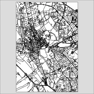
Oxford City Street Map Poster
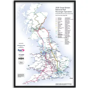
Price range: £35.00 through £49.00Select options This product has multiple variants. The options may be chosen on the product pageUK Railway Network Map 2026 (Framed)
Price range: £79.36 through £139.33Select options This product has multiple variants. The options may be chosen on the product pageUK Train Network Map (Overview)
Price range: £29.00 through £49.00Select options This product has multiple variants. The options may be chosen on the product page


&url=https://map-shop.co.uk/product/uk-railway-network-map-2026-framed/&media=https://map-shop.co.uk/wp-content/uploads/2026/04/ms01005-bd-uk-railway-map-framed-1024x1024.webp)
&url=https://map-shop.co.uk/product/uk-railway-network-map-colour/&media=https://map-shop.co.uk/wp-content/uploads/2024/11/ms00004-uk-rail-map-a0-cmyk-726x1024.png)